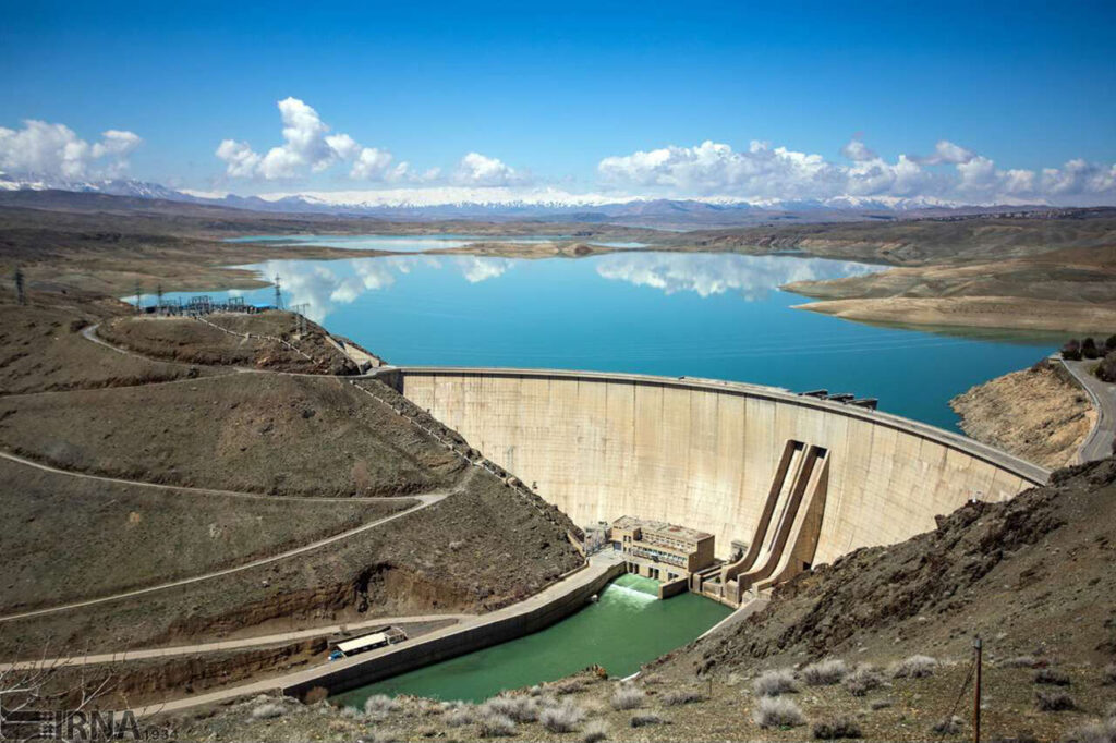
The Rogun Hydropower Plant, on the Vakhsh river in Tajikistan, is designed with an installed power of 3’600 MW to provide additional energy supply for Tajikistan and neighbors countries.
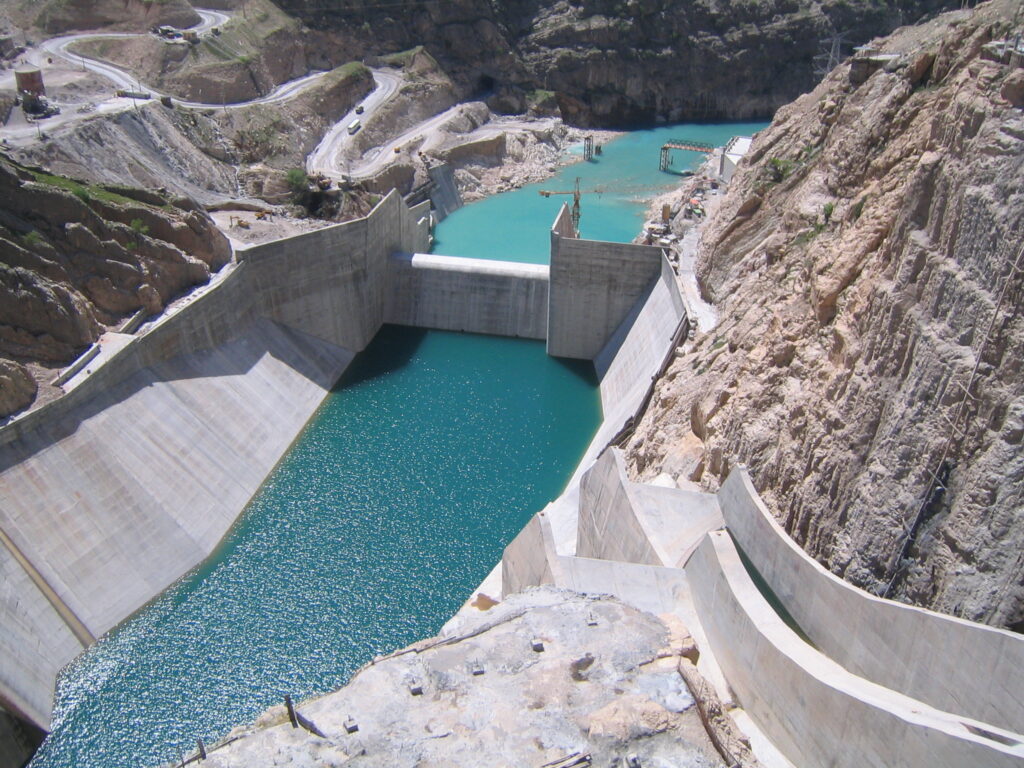
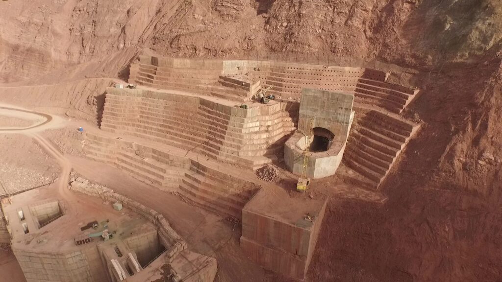
The design of the tunnels for the protection against flood, during the various phases of the project implementation and along the operation period, is a challenge in consideration of the risk of overtopping of the rockfill dam and due the fact that the dam location is placed in a seismically active zone; i.e. several important faults cross the tunnel profiles, requiring ad hoc design of relevant linings.
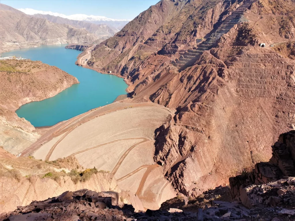
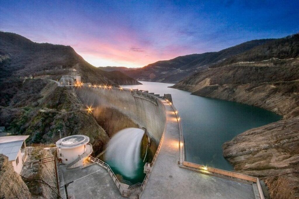
335 m-high rock-fill dam — one of the tallest in the world.
Reservoir capacity of ~13,300 hm³ at full supply level (1,290 m asl).
Reservoir surface area around 170 km².
Underground powerhouse cavern (220 m × 20 m × 70 m)
Six Francis turbines rated ~600 MW each (≈ 3,600–3,780 MW total).
Headrace tunnel capacity up to ~1,626 m³/s.
Multiple spillways including 3 high-level tunnel spillways, designed to handle Probable Maximum Flood (PMF).
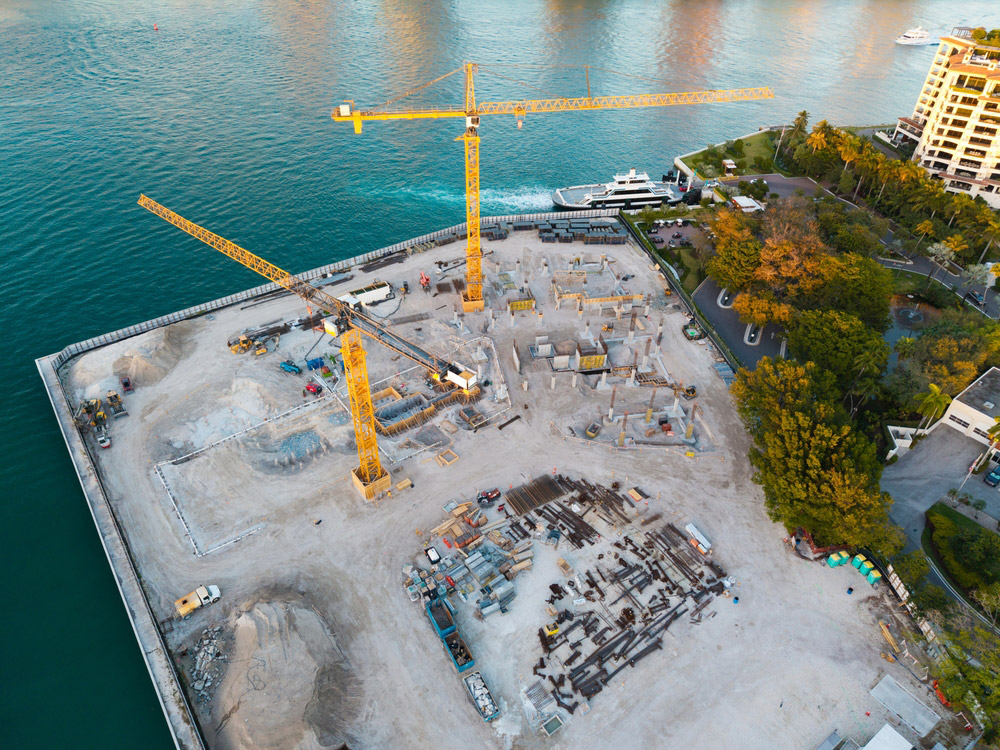
Innovative “FlyingBelt” conveyor system (~650 m) to transport construction materials sustainably.
Ministry of energy
Rogun, Tajikistan
The Challenge
The Rogun Dam & Hydropower Project, located on the Vakhsh River in a highly seismic region of Tajikistan, faced extreme technical and geological challenges. With a planned installed capacity of 3,600 MW, the project required the design and construction of multiple high-pressure diversion and flood-protection tunnels through complex rock formations intersected by major fault zones. The risk of dam overtopping during construction and operation demanded precise hydrological modeling and robust discharge capacity. Seismic loading, weak rock masses, high in-situ stresses, and potential fault activation required advanced design approaches for tunnel alignments, lining systems, and overall structural stability. Ensuring safe construction sequencing, long-term operability, and resilience against extreme events made this one of the most technically demanding hydropower developments in the region.
What did RMTEC do
RMTEC delivered a comprehensive engineering approach combining advanced numerical modeling, geotechnical analysis, and seismic risk mitigation. Detailed geological and fault characterization informed optimized tunnel routing and support systems. Custom lining designs were developed to accommodate fault displacement, rockburst potential, and high water pressure. RMTEC applied staged construction modeling to ensure continuous flood protection throughout dam elevation phases, preventing overtopping risks during peak flows. Hydrological assessments guided the sizing and configuration of bypass and outlet systems to ensure safe discharge under extreme flood events. Continuous coordination with dam designers, contractors, and authorities enabled full integration of seismic design criteria into all major structures, ensuring long-term operational safety.
The Results
- Safe tunnel operation under seismic loading
- Continuous flood protection during all construction stages
- Improved long-term structural resilience
- Optimized design reducing construction and maintenance risks